
Make images and maps, interactive.
Add hotspots to your images or drop pins on a map. Give each point a popup, map view, or lightbox card with text, photos, video, and links.
Free forever · No credit card required · 1000+ Colors and Applications

Embeds anywhere you can paste an iframe
- Wix
- Shopify
- Squarespace
- Webflow
- WordPress
- Framer
- Notion
- HubSpot
- Ghost
- BigCommerce
- GoDaddy
- Substack
- Mailchimp
- Drupal
- Joomla
- Confluence
- Contentful
- Zendesk
Try it live
Turn one flat image into a guided walkthrough.
Hover a hotspot and a card explains that part — no extra pages needed.
Try it on this HVAC render: drag hotspots, add your own, or choose dot or pin markers on the right. Nothing is saved.

Workflow
From image or map to interactive embed in minutes.
Start with an image or map
Upload a photo, diagram, or floor plan, or start a geographic map and search for a location.
Add hotspots or pins
Place hotspots on your image or pins on your map. Add text, photos, video, and links to each popup.
Publish a clean embed
Copy one iframe into Wix, Webflow, WordPress, or any page that accepts HTML.
<div
  style="position:relative;width:100%;padding-top:56.25%"
>
  <iframe
    src="https://interactiveimage.com/embed/YOUR-ID"
    style="position:absolute;inset:0;width:100%;height:100%;border:0"
    scrolling="no"
    loading="lazy"
  ></iframe>
</div>
Replace YOUR-ID with the map ID from your Embed panel.
Embed architecture
One iframe. Every interaction.
Publishing turns your visual into a hosted, responsive experience. Paste one snippet into an HTML or embed block and the image, hotspots, cards, and updates travel with it.
Your page
The iframe reserves a responsive space inside Wix, Webflow, WordPress, Shopify, or custom HTML.
Hosted visual
Interactive Image serves the published image or map and its current hotspot content.
Percentage positions
Markers stay aligned as the visual scales from a desktop layout to a phone.
Live updates
Edit a hotspot once and every page using that iframe receives the latest version.
The short answer
What is an interactive image?
An interactive image is an ordinary photo, render, diagram, or plan with clickable hotspots placed on top of it. Hovering or tapping a hotspot opens a card with its own title, description, image, and link — so one visual can carry the detail that would otherwise need a page of text or a stack of annotated crops.
The part that matters technically is how those hotspots are stored. Here each one is a percentage of the image's width and height rather than a pixel coordinate, so a marker sitting on a valve, a room, or a product stays on it at every screen size. That is the difference between a modern interactive image and a classic HTML image map, whose fixed <area> coordinates drift as soon as the image scales.
You publish it as a single responsive iframe, which is why it drops into Wix, WordPress, Webflow, Shopify, Squarespace, or any page that accepts HTML without a plugin — and why editing a hotspot updates every page showing that image at once.
Common questions
- Do I need to design a new graphic?
- No. It works on the image you already have — a product photo, a CAD export, an architectural render, or a floor plan PDF exported as an image.
- Does it work on phones?
- Yes. Hotspots scale with the image and popups open as tap-friendly cards rather than hover tooltips.
- Do I need a developer?
- No. Placing hotspots is drag-and-drop, and publishing is copying one snippet into an HTML block.
- Can I change it after publishing?
- Yes. Hotspot content lives here, not in your site, so edits appear on every page holding the embed without re-copying anything.
Built for clarity
Designed for product teams that need clarity, not clutter.
Interactive Image turns detailed visuals and locations into guided experiences for product pages, manuals, real estate plans, venue guides, and geographic maps with clickable pins.
Start creating free- Responsive presentation across desktop, tablet, and mobile
- Drag-to-place image hotspots with precise percentage positioning
- Custom hotspot color, size, and popup typography
- Three hotspot actions: popup, map view, or lightbox card
- Copy-and-paste iframe embeds for modern website builders
- Geographic maps with location search and clickable pins
- Your images and copy remain under your control
- Photos, video, and rich text inside every hotspot card
- Call-to-action buttons that link straight to product pages
- Hotspot categories with one-click filter chips
- Live preview and mobile, tablet, and desktop viewport testing
- Built-in image cropping and repositioning
- Starter templates for diagrams, floor plans, and menus
- Publish to a public, crawlable gallery page for SEO
- Instant save with autosave and one-click manual save
- Marker styles: dots, pins, numbers, and custom colors
- Accessible keyboard focus and screen-reader labels
Examples
See what interactive images can become.
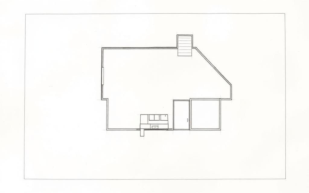
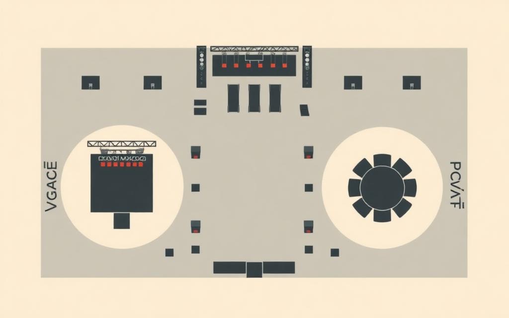
Explore product diagrams, floor plans, venue maps, and other real website use cases before building your own.

Compare tools
Choosing between hotspot, map, and graphics tools?
Compare Interactive Image with presentation builders, image map generators, WordPress plugins, design tools, and data mapping platforms.


Explore formats
Make any visual clickable.
Start from a product photo, map, diagram, floor plan, infographic, or website graphic, or build a geographic map with location pins.
Interactive image maker
Add clickable hotspots and popups to any image.
Image map generator
Create a modern image map without fragile HTML coordinates.
Interactive graphics maker
Turn diagrams, infographics, and sales visuals into explorable content.
Interactive map maker
Add clickable pins and popups to venue maps, floor plans, campuses, and illustrated maps.
Responsive image map generator
Keep hotspots aligned across desktop, tablet, and mobile layouts.
HTML image map alternative
Replace map and area tags with a responsive hosted embed.
Free image map tools
Convert legacy map markup and read image coordinates, free in your browser.
Add a link to an image
Point different parts of one image at different destinations.
Pricing
Simple pricing for serious presentation.
Start with one interactive image or geographic map. Upgrade for more maps and unlimited hotspots.
Free
$0/mo
For testing the workflow on a real asset.
- 1 map — image or geographic
- Limited hotspots per map (including pins)
- Embed anywhere
- “Made with Interactive Image” badge
Pro
$5/mo
For product libraries and client-ready embeds.
- Up to 500 maps
- Unlimited hotspots
- No badge on embeds
- Embed usage analytics
Definition
What is an interactive image tool?
An interactive image tool layers clickable hotspots onto a flat image so each part of the picture can carry its own title, description, photo, video, and link. The result is one embeddable component instead of a stack of annotated screenshots: a product render that explains its own parts, a floor plan where every room opens its details, a seating chart that links each section to tickets.
The part that decides whether it holds up in production is how hotspot positions are stored. Interactive Image records them as percentages of the image and measures the rendered image box, so markers stay glued to the artwork from a 4K monitor down to a phone — the failure mode that makes classic pixel-coordinate image maps unusable on responsive sites.
| Approach | Responsive? | Rich popups? | Best for |
|---|---|---|---|
| HTML image map (<area>) | No — fixed pixels | No, links only | Legacy fixed-width pages |
| Hand-coded CSS or SVG overlay | Yes, with work | Only what you build | Developer-owned one-offs |
| Design tool export (Figma, Canva) | No embed produced | No | Static visuals and decks |
| Mapping platform | Yes | Yes | Real geography and coordinates |
| Interactive Image | Yes — images and geographic maps | Text, images, video, CTAs | Image hotspots and location pins embedded on a site |
Go deeper on what an interactive image is, the image map generator, or how the tools compare.
Frequently asked questions
How do I make an image interactive?
Upload the image, drop hotspots where you want them, add text, photos, or links to each hotspot, then copy the generated iframe into your website.
Where can I embed an interactive image?
Anywhere you can paste an iframe, including Wix, Webflow, WordPress, Shopify, Squarespace, Framer, Notion, HubSpot, and custom sites.
Is Interactive Image free?
Yes. Free includes 1 map — an interactive image or a geographic map — with limited hotspots per map and a small Made with Interactive Image badge on embeds. Pins count toward the hotspot limit. Pro is $5/month and includes up to 500 maps, unlimited hotspots, no badge, and embed usage analytics.
Do interactive images work on mobile?
Yes. Hotspots scale with the image and open on tap, so the same embed works on desktop, tablet, and mobile.
What is an interactive image tool?
An interactive image tool takes a flat image and layers clickable hotspots on top of it, each holding its own text, photo, video, or link. Instead of one link per image, a visitor can explore the parts of a product, the rooms in a floor plan, or the sections of a venue map, all inside a single embeddable component.
How do I create an image map without coding?
Upload the image, click where each region should go, and describe it. Interactive Image stores each hotspot as a percentage of the image rather than fixed <area> pixel coordinates, then generates the responsive embed for you — no HTML, JavaScript, or plugin required.
Can I put pins on a geographic map?
Yes. Start a geographic map, search for a location, and click the map to place pins. Add text, photos, video, and links to each pin's popup, then embed the map on your website. You can also upload your own illustrated map or floor plan and add hotspots to it.
Can I make custom interactive maps from my own artwork?
Yes. Illustrated maps, campus plans, seating charts, trade-show layouts, and stylised world maps all work, because Interactive Image treats your artwork as the map instead of requiring geographic coordinates.
What is the difference between this and an HTML image map?
A classic HTML image map uses <map> and <area> tags with fixed pixel coordinates, so the clickable regions drift as soon as the image is scaled, and each region can only be a plain link. Percentage-based hotspots stay aligned at every width and can open rich cards with images, video, and buttons.
Custom work
Need something more custom?
If your project needs more than the builder — hundreds of hotspots, a bespoke card design, a tailored integration, or a done-for-you build — our team at Upcode Studios can take it on.
- Bulk hotspot builds from existing diagrams, catalogs, or spreadsheets
- Custom card layouts, branding, fonts, and interaction behavior
- Deep platform integrations and white-label embeds
- Ongoing updates handled by our team, not yours
Tell us about your project
We typically reply within one business day.
Ready to turn your visuals into guided experiences?
Create your first interactive image or geographic map and embed it on your website.
Free plan available · No credit card required